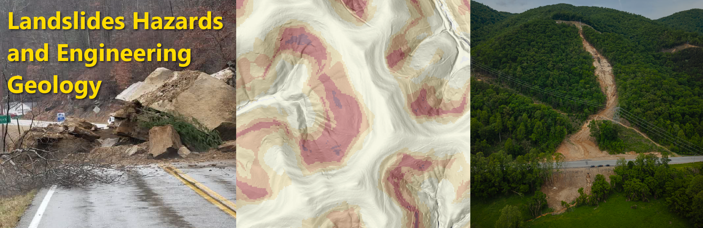
Engineering Geology (sometimes called Applied Geology) is a multidisciplinary subject at the intersection of earth sciences and the built environment. An engineering geologist’s expertise requires knowledge in soil and rock mechanics, geologic hazards, groundwater, and surface water hydrology, among other subjects. The role of an engineering geologist is to understand the complexities of natural phenomena and geologic materials, and to convey this information to be readily usable in projects related to the built environment, improving health and safety, and reducing risk to geologic hazards
The KGS Landslide Hazards and Engineering Geology Team works to further understand landslide hazards, collect and disseminate landslide data, and foster collaboration with regional hazards groups, government, industry, and other stakeholders with the goal of reducing risk from landslides in the Commonwealth.
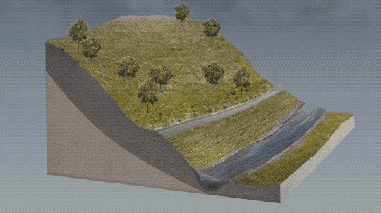
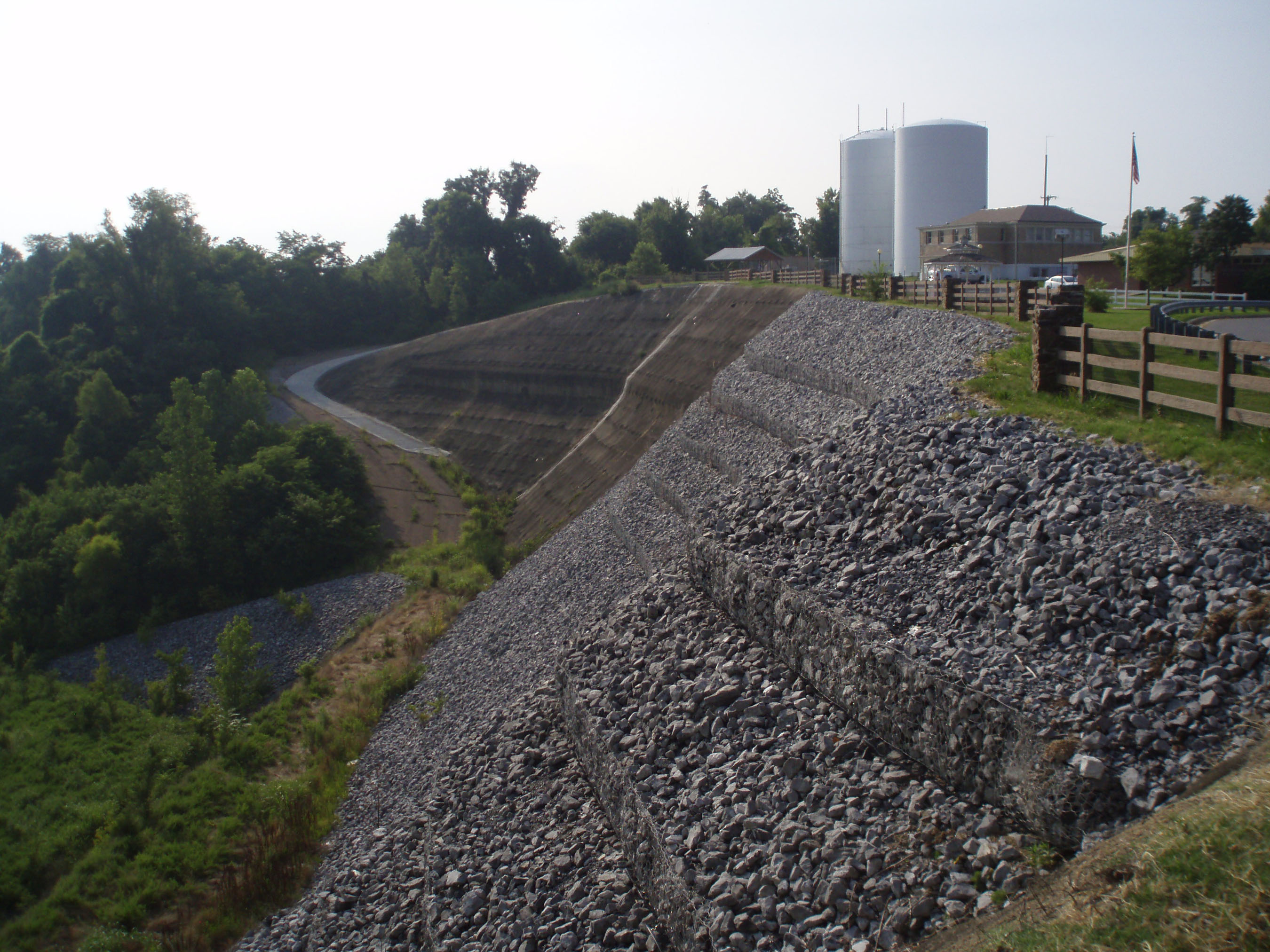
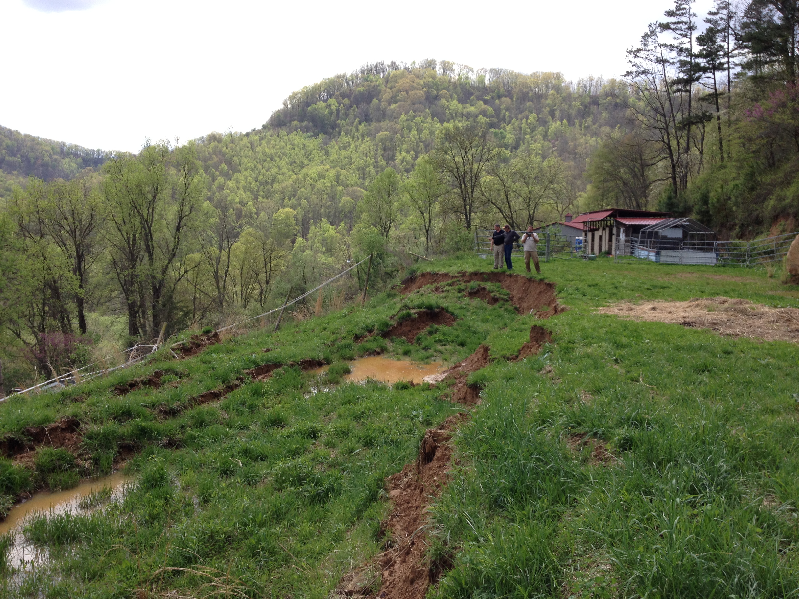
A landslide is the downslope movement of soil, rock, and debris downslope. They occur as many types, depending on what material moves downslope and how fast it goes. Much of Kentucky is landslide-prone due to areas with steep slopes and other complex terrain characteristics.
What do we do?
The objective of the program is to excel in three priority areas: (1) research and funding, (2) hazard response and outreach, and (3) partnerships and engagement. These objectives aim to sustain KGS as the primary source of landslide hazard information for the Commonwealth.
Research Areas
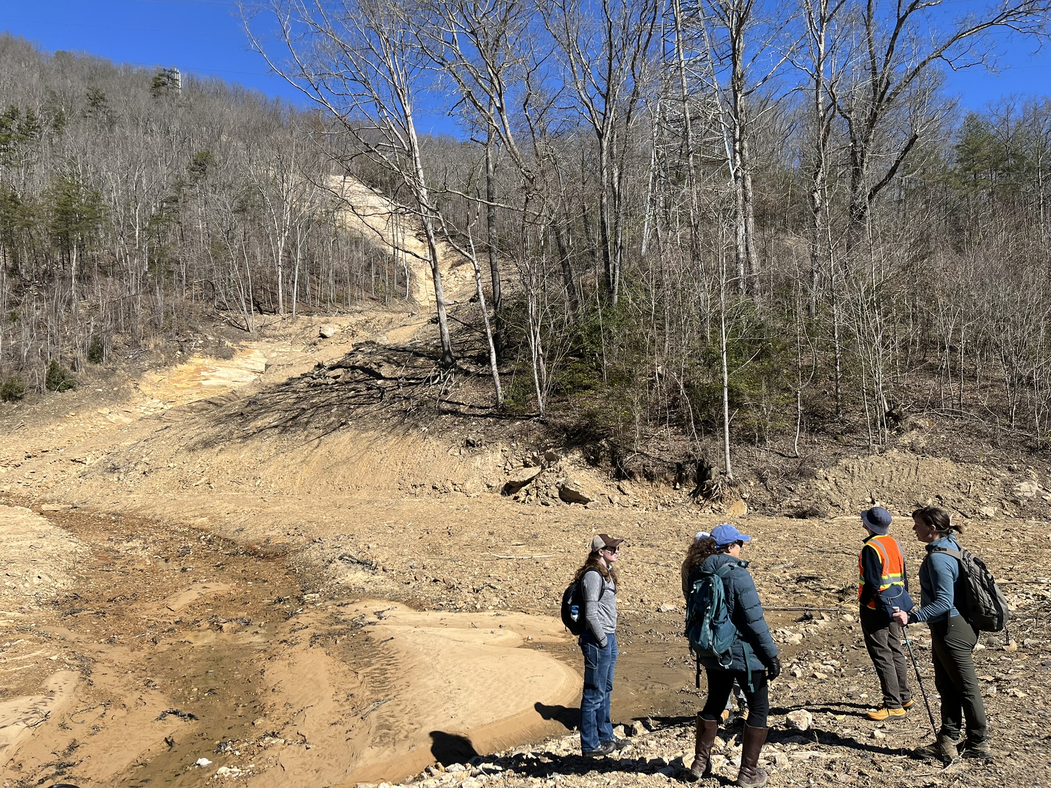
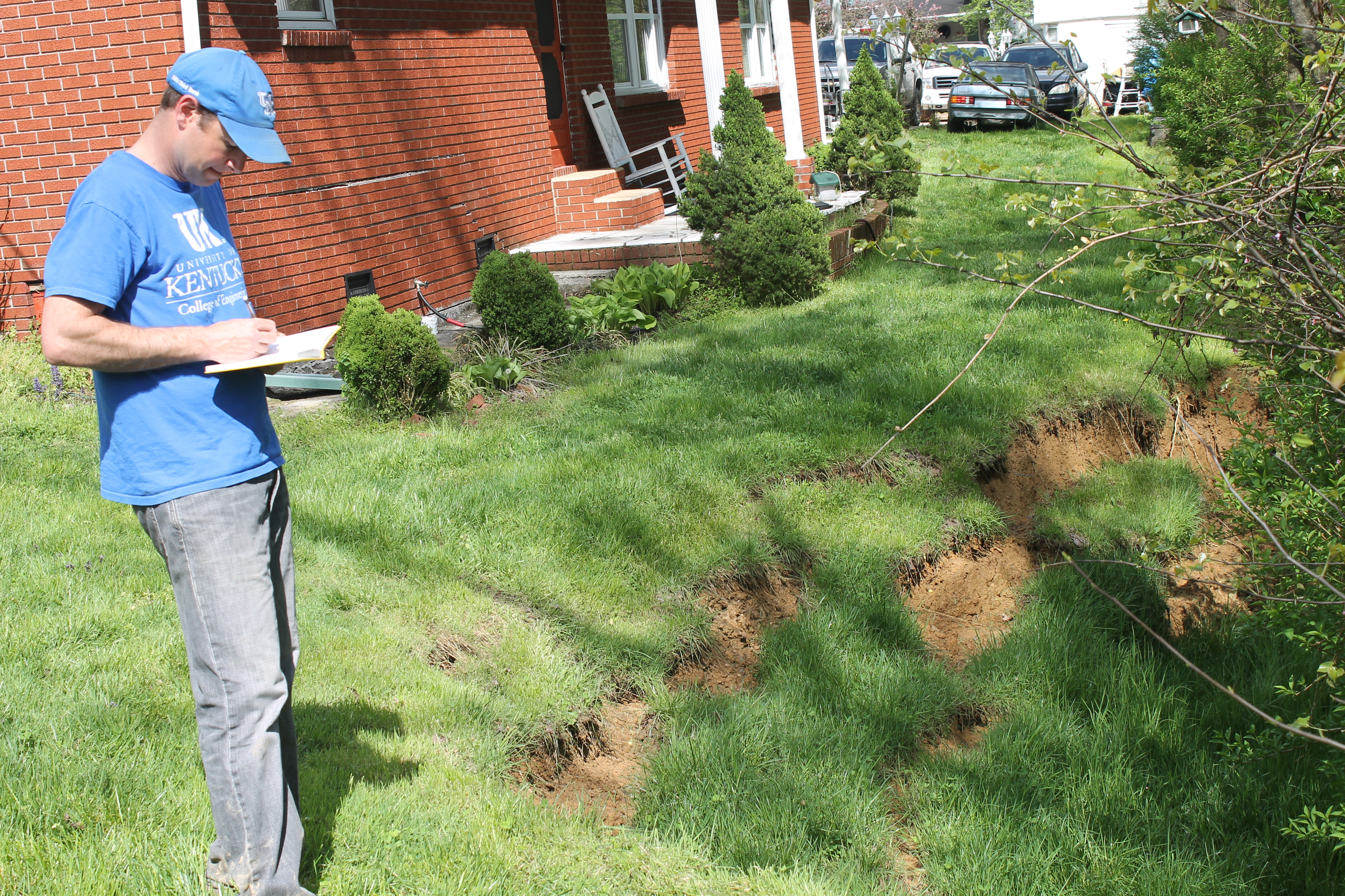
Our team collects, documents, and maintains new and historical landslide data to expand and improve the KGS inventory database. Landslide inventories are fundamental components of all areas of landslide research. Inventory maps document past landslides and inform where to expect future landslides, as landslides often reactivate in the same places.
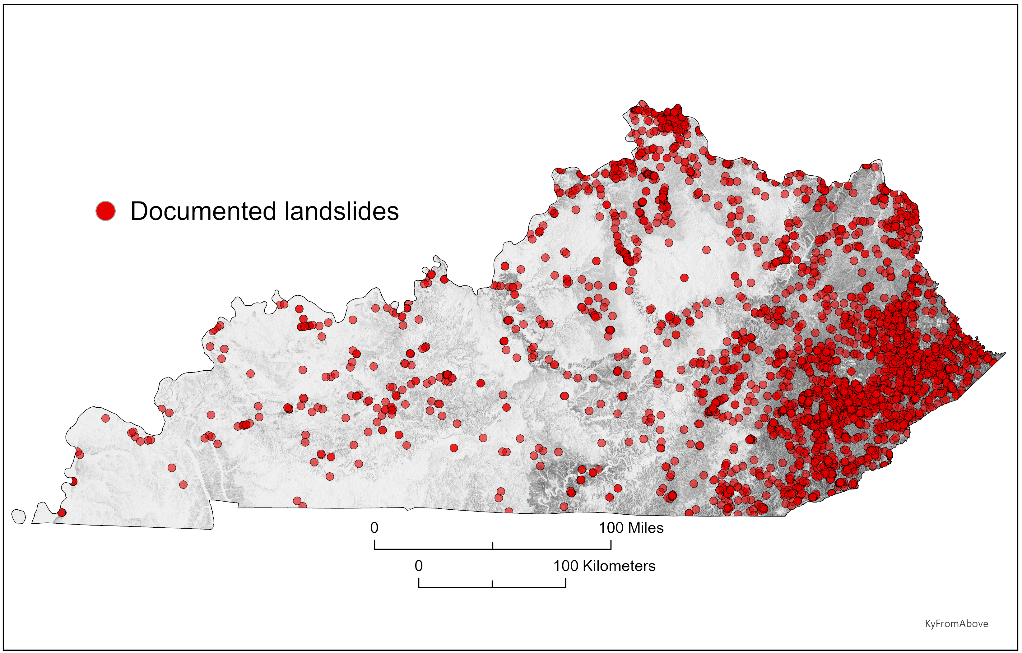
Critical parts of inventory mapping include assessing mapping techniques, inventory database structure, database attributes, and quality control. We connect with other agencies who do landslide mapping and explore standardization possibilities.
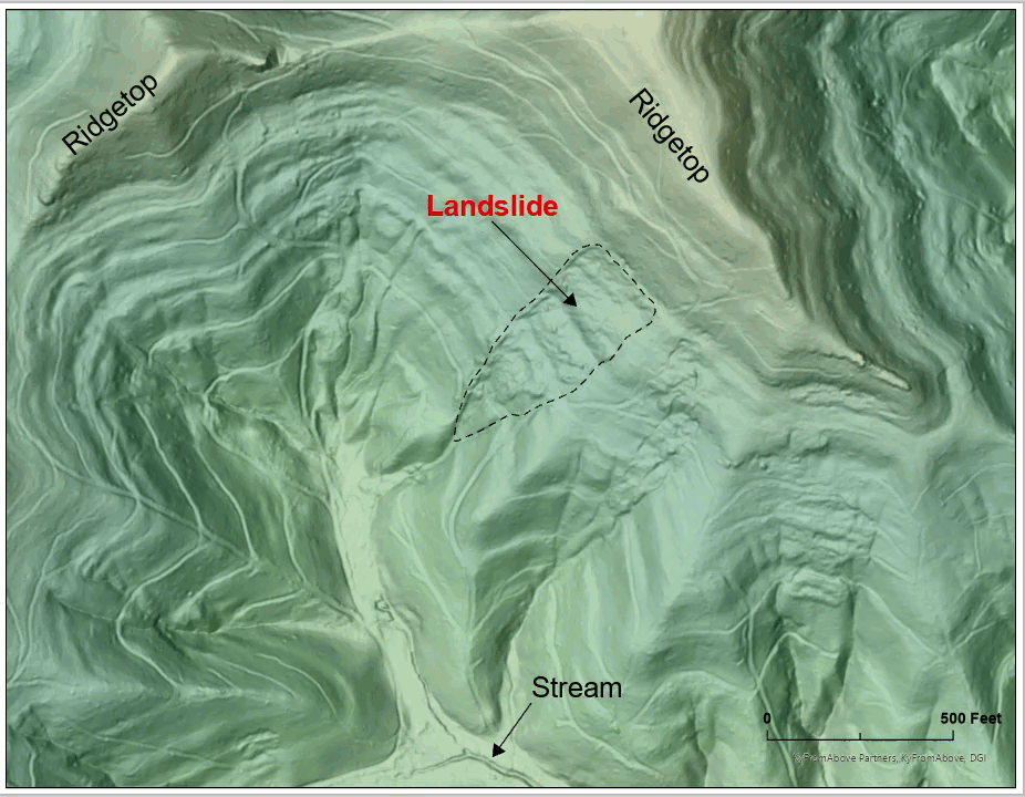
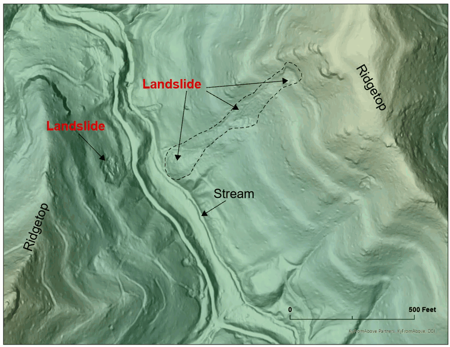
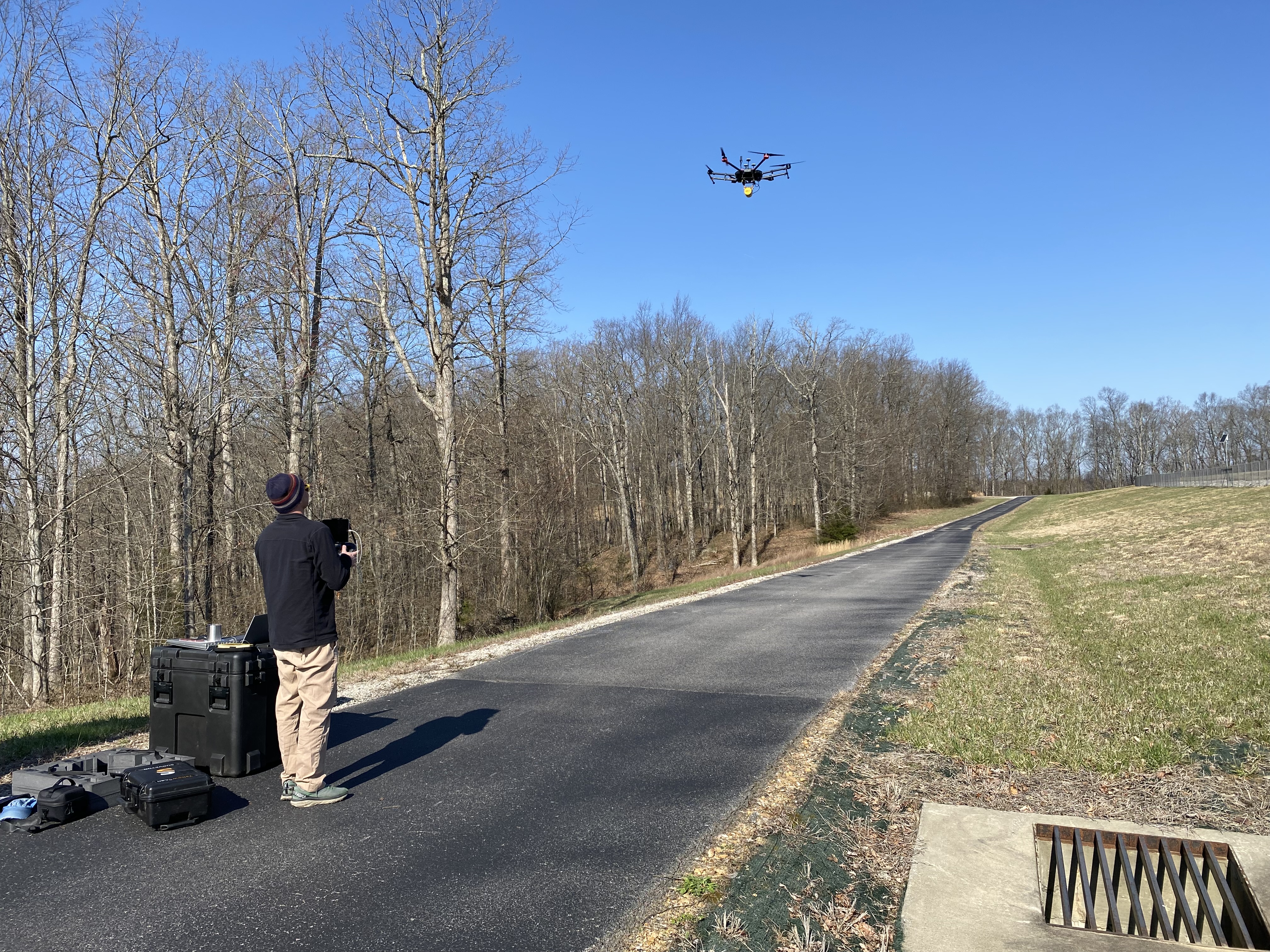
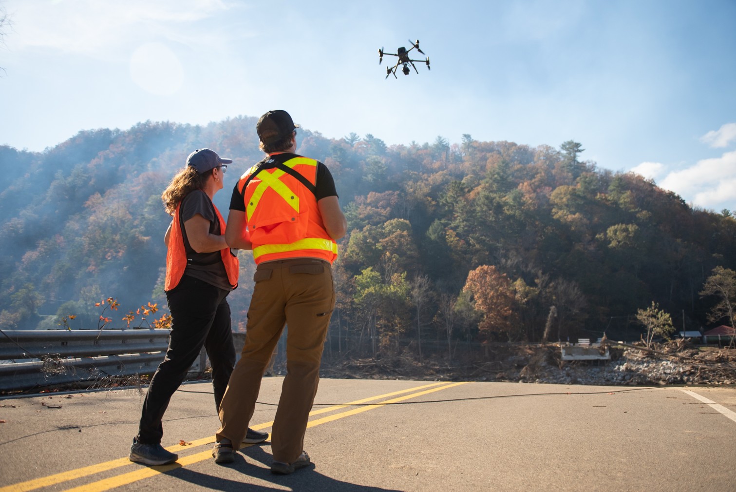
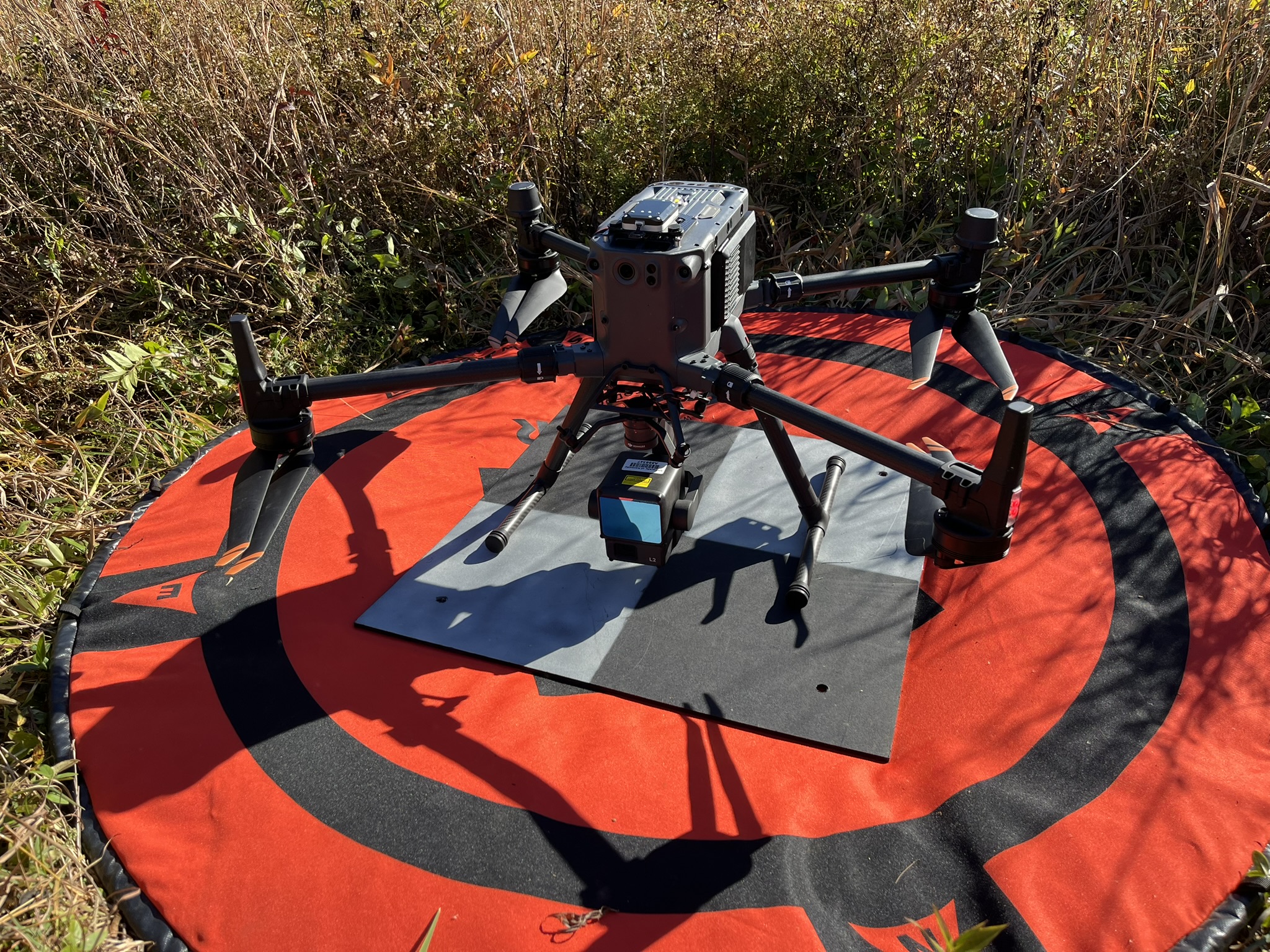
We map landslides with lidar, ortho imagery, lidar-based elevation differencing, and other remote sensing techniques, supporting hazard assessment as well as prioritizing response and informing stakeholders in the case of a landslide event.
Resources:
Future Directions:
A burgeoning area of research includes using AI and object identification techniques to map landslides. These techniques include deep learning models that can “learn” the extents of mapped landslides from the inventory and be trained to predict where landslides exist on a landscape. Key questions regarding AI and prediction include if these techniques can assist traditional inventory mapping but also be used in landslide susceptibility models.

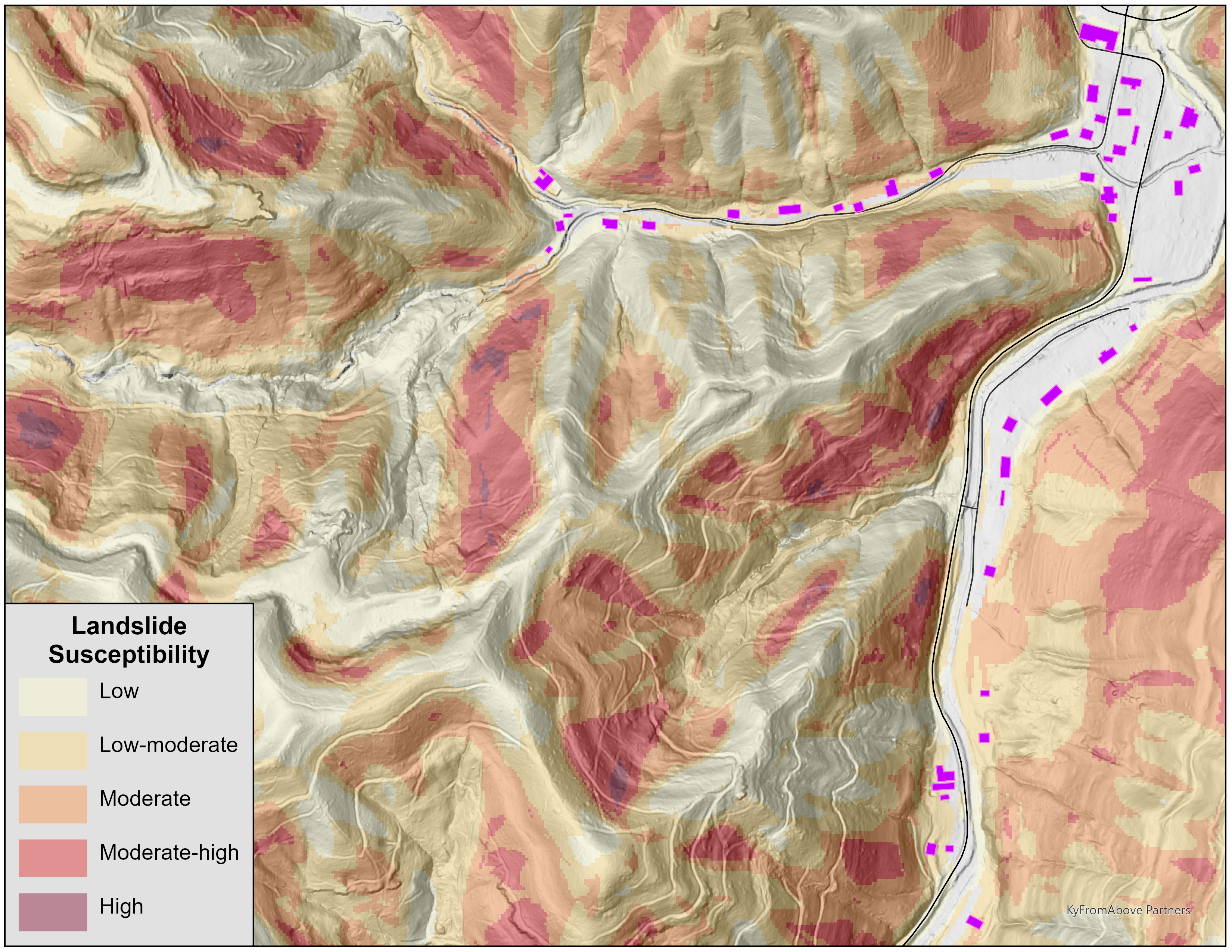
Landslide susceptibility is the relative tendency or potential for slope movement in a given area. Our team works with several types of models that evaluate landslide susceptibility. Landslides susceptibility maps are different than landslide hazard maps because they typically do not account for time, landslide behavior (how far does the landslide go, for example), or specific rainfall triggering information.
Primarily our team conducts research on data-driven, statistics-based machine learning landslide susceptibility modeling and generates maps for dedicated parts of Kentucky.
Economic impacts of landslides worldwide include damages to infrastructure, buildings, and homes costing hundreds of billions annually, and are forecasted to increase. Nationally, annual landslide fatalities, often associated with large events such as rainstorms or earthquakes, vary significantly due to the vulnerability of elements at risk and hillslope development practices. In Kentucky, direct costs of landslides exceed $20 million annually damaging roads, buildings, private residences, pipelines, and other parts of the built environment.
The International Union of Geological Sciences (IUGS) Working Group on Landslides define landslide risk as the product of a hazard (the likelihood a landslide will occur) and exposure (the health, property, or environmental assets that might be diminished should the landslide occur). However, a range of complex risk modeling equations exist because there are numerous combinations of spatial and temporal inputs for assessment and mapping. The exposure component can be reformulated to include both vulnerability and consequence (such as cost) so that risk becomes the product of hazard, vulnerability, and consequence.
Our team works to:
- Approaches and methodologies for risk modeling and mapping.
- Explore how KGS susceptibility and hazard maps can be used for risk modeling.
- Analyze exposure, asset, and vulnerability data for elements at risk of landslides.
- Establish landslide damage and loss information.
- Establish methods and protocols for risk communication (see Hazard Response).
How to Reduce Your Risk Before, During, and After a Landslide:
- Stay informed! Be aware of the land around you, particularly during prolonged or heavy rainfall.
- In landslide-prone areas, be aware of steep slopes, maintain proper drainage, and look for new cracks in the ground. Landslides can occur repeatedly in the same places.
- Stay alert to unusual sounds like cracking trees, rocks, or walls, especially during prolonged or heavy rainfall.
- Move away from windows and areas where landslide debris might enter your residence.
- Stay calm and evacuate the affected structure when safe to do so and call 911.
- Any work done to stabilize a slope should be done by a professionally licensed engineer or geologist.
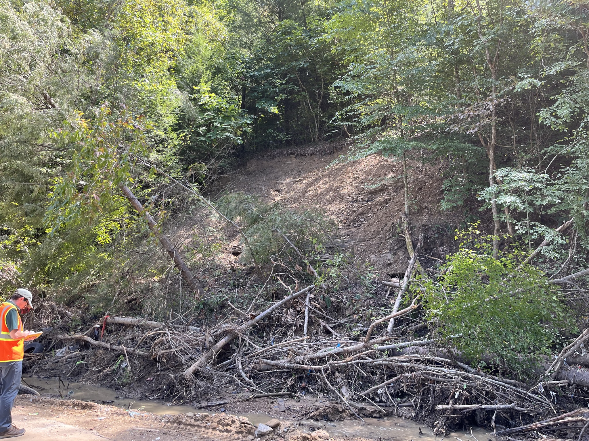
Our team also uses unmanned aerial vehicle (UAV) lidar and terrestrial lidar systems for landslide characterization and repeat elevation surveys to assess ground movement.
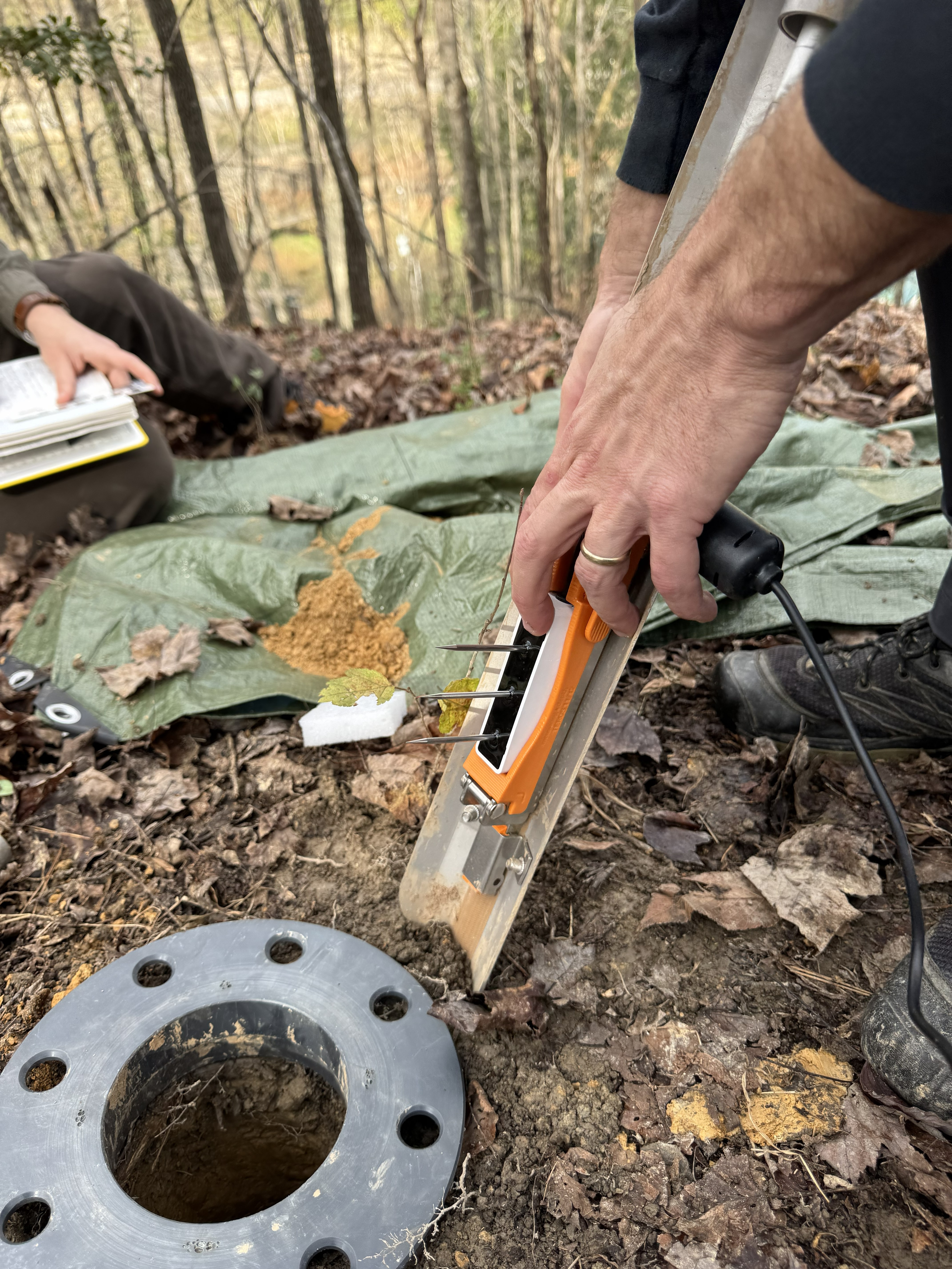
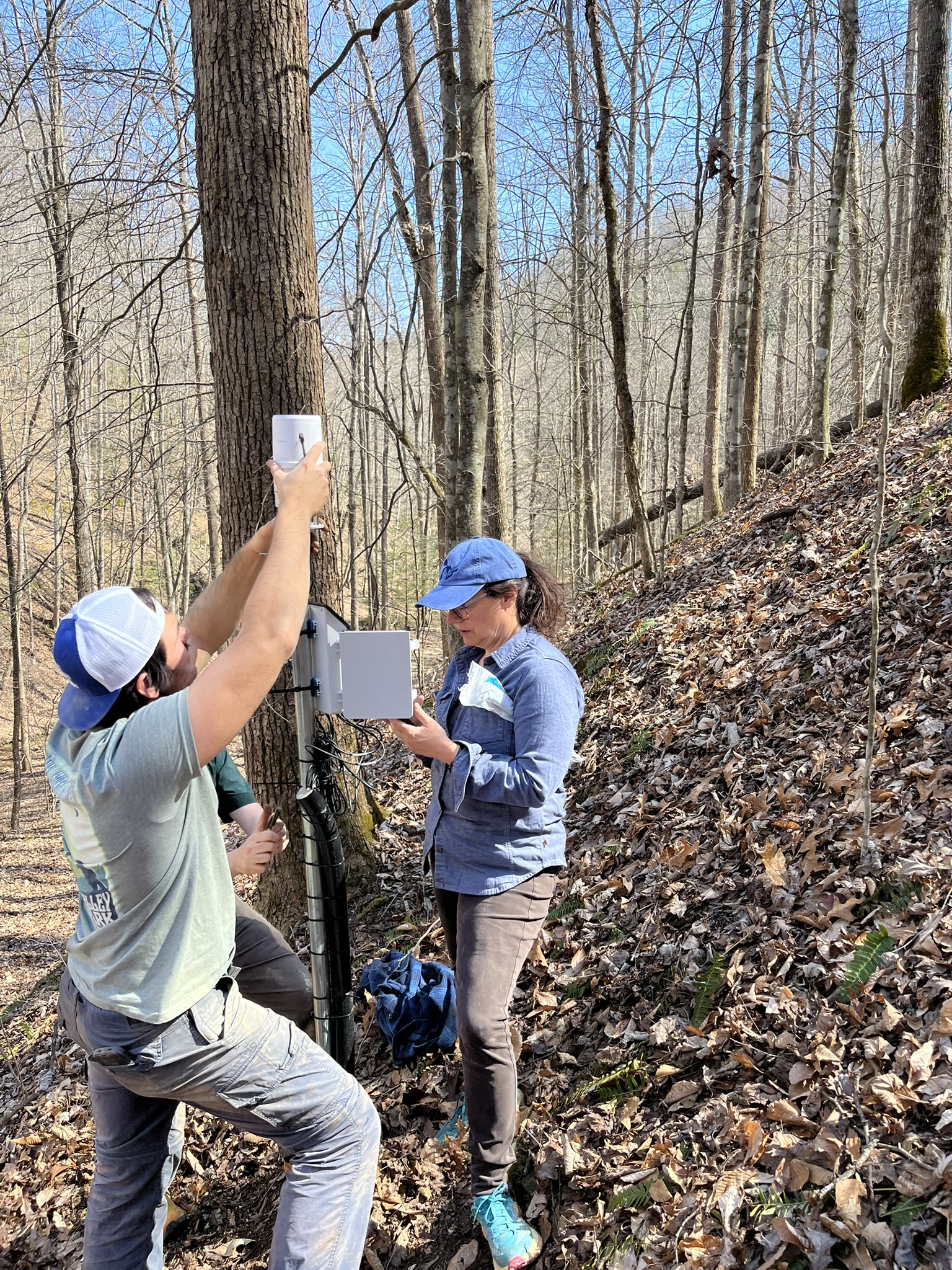
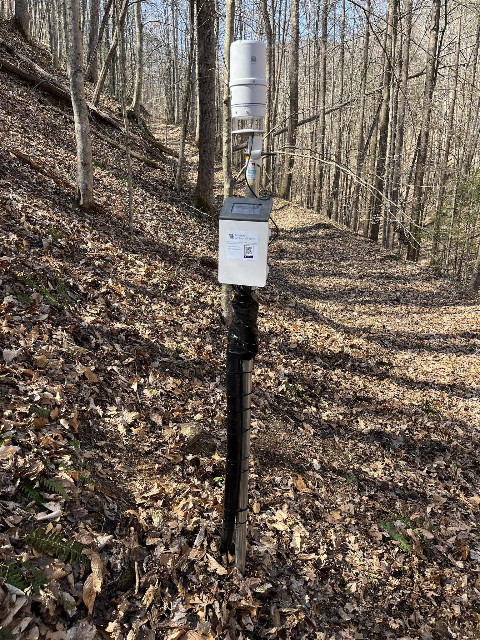
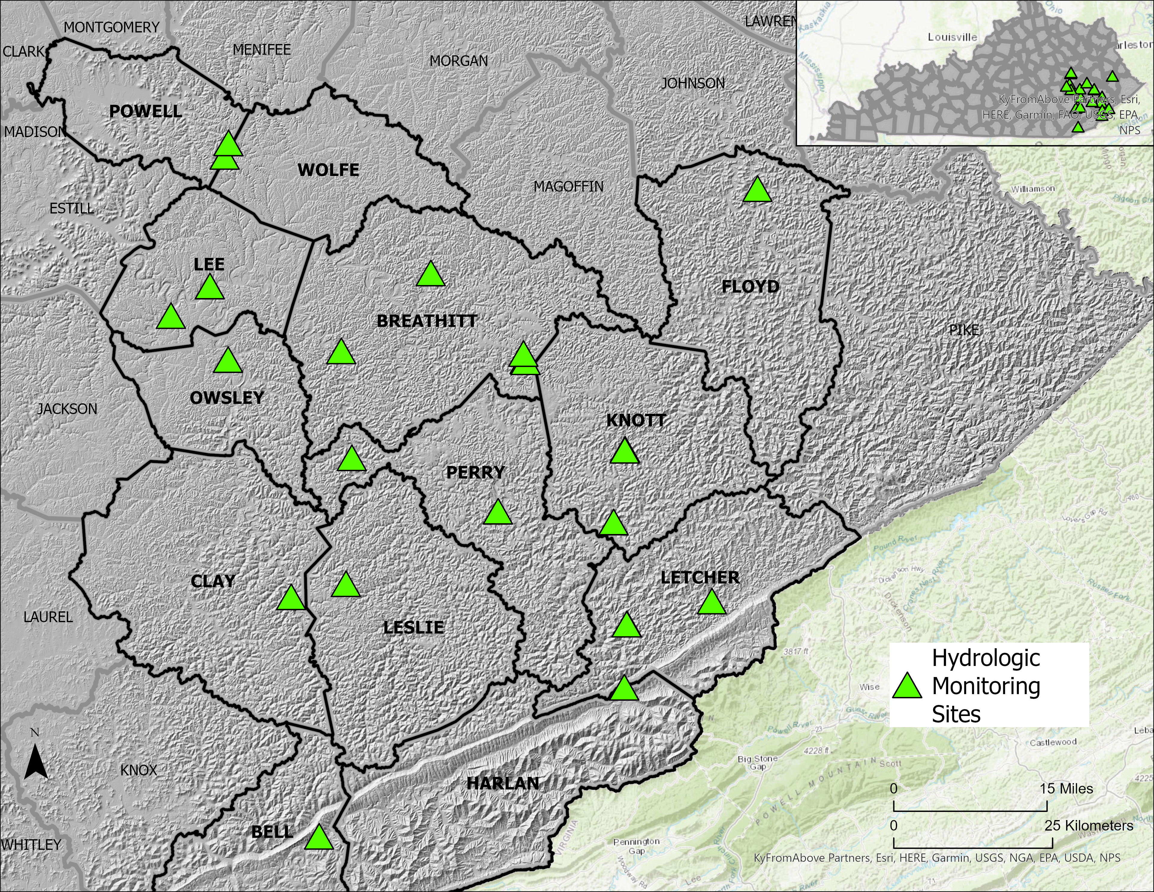
Our Team operates and maintains the current EPSCoR CLIMBS Project 5 hydrologic monitoring network. This network consists of 24 field stations that gather soil hydrologic data, as well as rainfall and other atmospheric parameters. The soil hydrologic data primarily includes soil moisture and water potential. The data is streamed to and visualized at KGS in near real time. Station locations were selected based on slope morphology, slope aspects, slope position, landslide susceptibility, cellular service, and property access.
We will leverage the CLIMBS hydrologic monitoring network data for research projects that include geotechnical soil property investigations, slope stability modeling, scenario-based landslide forecasting models, landslide initiation, and overall weather context that related to landslide activity and potentially early warning systems.
These efforts will help support goals of further understanding landslide hazards and reducing risk across the Commonwealth.
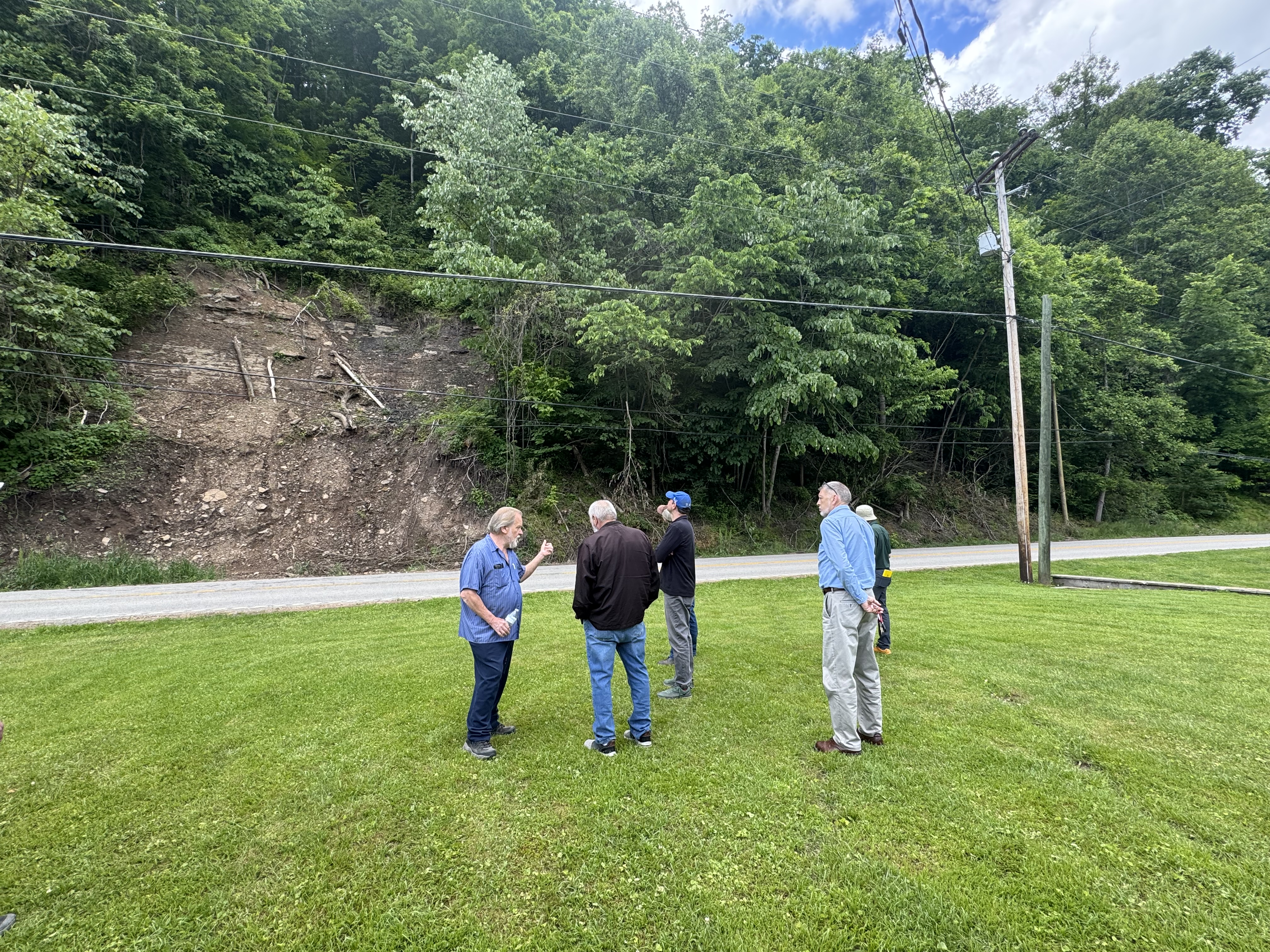
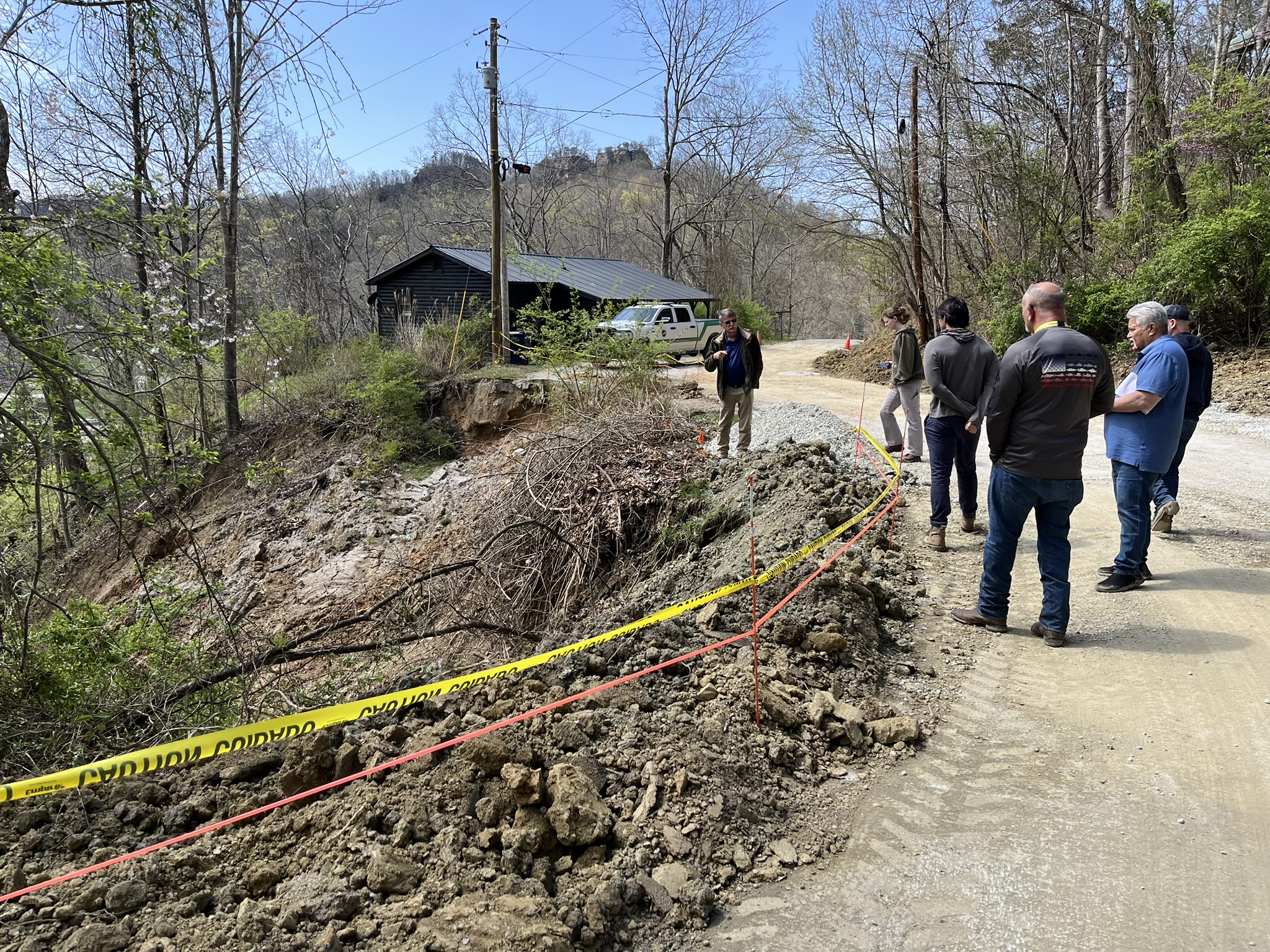
Hydrologic monitoring site installations:

Resources:
- Develop our capacity to respond quickly and effectively to landslide or storm events.
- Establishing tools and planning protocols to provide event-driven information products, including rapid detection, mapping, and characterization of landslides.
- Coordinate with state and local officials, such as Kentucky Emergency Management, to develop a landslide response plan (or MOU), establishing communication and guidelines for safety during an event (e.g., What’s dangerous? Where are areas that could move again?).
- Work to establish guidelines for using KGS landslide inventory and susceptibility data (e.g. conducting regular workshops that communicate landslide hazard data and use), supporting mitigation strategies and enhancing awareness of landslide risks.