Connect to Desktop GIS
Learn how to connect to Kentucky Geological Survey map services using ArcGIS Pro, ArcMap, QGIS, and other desktop GIS applications.
Back to Map ServicesKentucky Geological Survey map services can be accessed directly in desktop GIS applications like ArcGIS Pro, ArcMap, QGIS, and other OGC-compliant clients without downloading large datasets. The data is symbolized and labeled for quick use, allowing you to overlay your own data on Kentucky geologic map data.
Note: These services are for viewing and querying data only. You cannot download data or change symbology from these services. The KGS Geologic Map Service (see below) and the KGS Publications Catalog are the best sources for finding downloadable KGS GIS data. For non-KGS downloadable GIS data, visit our Geospatial Data Library.
Adding KGS ArcGIS Server Services in ArcGIS Pro
- 1 Open ArcGIS Pro and your project (or create a new one).
- 2 Click the Insert tab on the ribbon.
- 3 Click the Connections dropdown and select New ArcGIS Server.
- 4 In the Server URL box, enter:https://kgs.uky.edu/arcgis/services
- 5 Leave authentication blank (KGS services are publicly accessible) and click OK.
- 6 The server connection now appears under Servers in the Catalog pane.
- 7 Expand the server connection to browse available map services. Right-click a service and select Add to Current Map to add it to your project.
KYGeo_WGS84 service to ensure proper alignment. Layer URLs and Data Downloads in the Geologic Map Service
How to get the service URL and data download links (if available) for individual map layers
You can find the direct service URL and data download links (if available) for any layer in the KGS Geologic Map Service by using the layer list and clicking the info icon. This is useful when you want to connect to or add a specific layer in your desktop GIS application.
- 1 Open the KGS Geologic Map Service in your browser.
- 2 In the layer list panel, find the layer you're interested in.
- 3 Click the dots (...) next to the layer name to expand the info and download (if available) options.
- 4 Click the " Layer information" to open the map service details.
- 5 You can also click the info icon next to a layer name to open the individual layer details.
- 6 The map service URL for that layer will be displayed. Copy this URL to use in your GIS application.
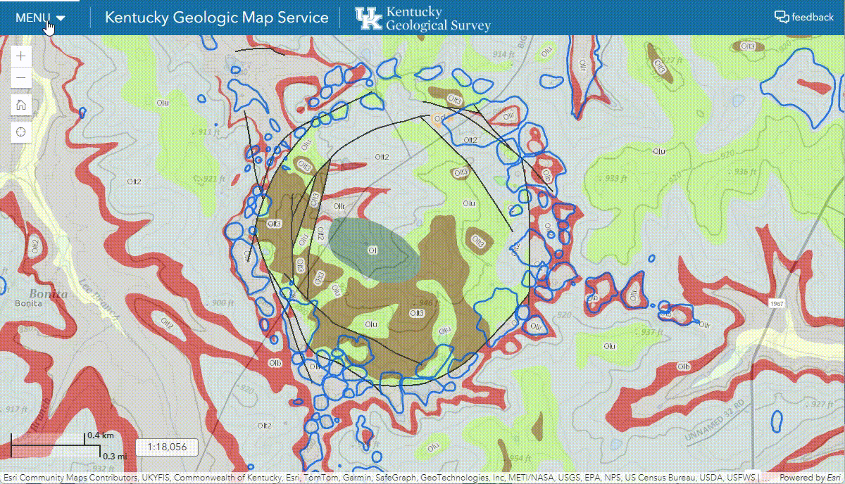
Click image to enlarge
Service Directory
Browse available KGS map services with direct links. Listed below are the most popular services.
Full directory: https://kgs.uky.edu/arcgis/rest/services
Check the full directory for many more KGS services.
| Service Name & Links |
|---|
| KY_Geo NAD 83 / KY Single Zone Displays the 1:500,000-scale geologic map of Kentucky at scales smaller than 1:100,000, and 1:24,000-scale geological quadrangle data at larger scales. Includes karst potential and dominant lithology layers derived from geologic formations. |
| KYGeo_WGS84 WGS 1984 Same geologic map data as KY_Geo but projected in WGS84 for use with ArcGIS Online basemaps and other WGS84-based clients. |
| KYCoalBorehole NAD83 / KY Single Zone Locations of coal exploration boreholes in Kentucky. Dynamically updated from the KGS borehole database. |
| KYCoalThickness NAD83 / KY Single Zone Coal thickness measurements in Kentucky including measurement locations, total coal, and total parting thematic maps. |
| KYOilGasWells_SZ NAD83 / KY Single Zone Kentucky oil and gas well record locations from the KGS Data Repository. Scale-dependent symbology shows well types at larger scales. |
| KYDeviatedWells_public NAD83 / KY Single Zone Line traces of non-vertical oil and gas wells in Kentucky approved for permits since 2006. Includes deviated well traces and inflection points. |
| KY_OilGasFields NAD83 / KY Single Zone Petroleum field outlines digitized from 1:250,000-scale oil and gas maps of Kentucky. Fields are named and identified by dominant fuel type. |
| KYSinkholes NAD83 / KY Single Zone Digital GIS sinkhole coverage for Kentucky. Polygons represent the highest elevation closed topographic contour of each mapped sinkhole. |
| KYSprings NAD83 / KY Single Zone Springs in Kentucky from the Kentucky Groundwater Data Repository. Scale-dependent symbology shows spring types at larger scales. |
| KYWaterWells NAD83 / KY Single Zone Water wells in Kentucky from the Kentucky Groundwater Data Repository. Scale-dependent symbology shows well primary use at larger scales. |